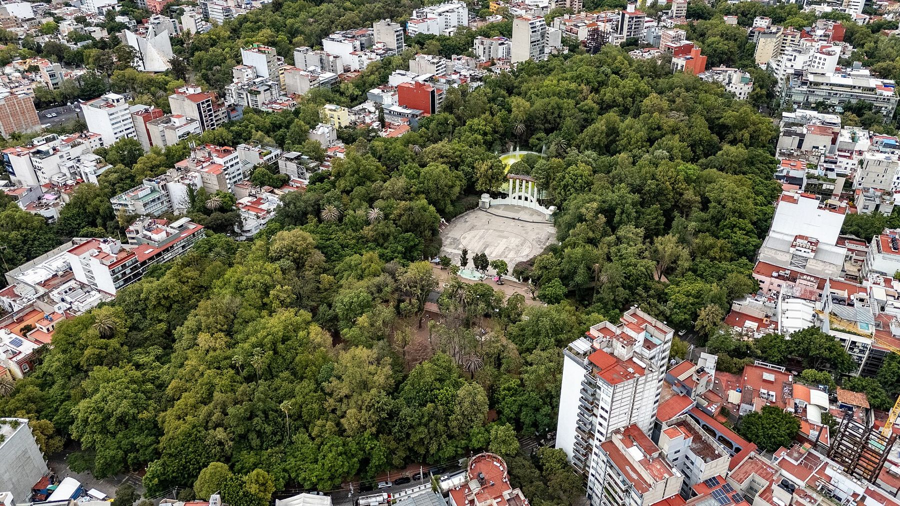
Roma and Condesa are neighbouring colonias south-west of the centre, laid out in the first decades of the twentieth century for families leaving the crowded old city. Roma came first, with Parisian-style mansions from the last years of the Porfirio Díaz regime; Condesa followed in the 1920s and 1930s, with art deco and modernist apartment blocks. Both have broad avenues with planted central walkways, and both are shaded by big old trees.
Both were also hit hard by earthquakes, in 1985 and again in 2017, both on 19 September. You will see gaps, new buildings and repaired facades among the old ones.
This walk starts in Roma at Plaza Río de Janeiro, follows Avenida Álvaro Obregón, crosses west to the Cibeles fountain, and then enters Condesa by Parque España and Parque México before following the oval of Avenida Amsterdam to Plaza Citlaltépetl.
The route is about 3.8 kilometres, flat and well shaded, and takes around two hours. Metro Insurgentes, on Line 1, and the Metrobús stops on Avenida Insurgentes are both within ten minutes of the start. After the Centro Histórico, this is the city at an easier pace.
Plaza Río de Janeiro
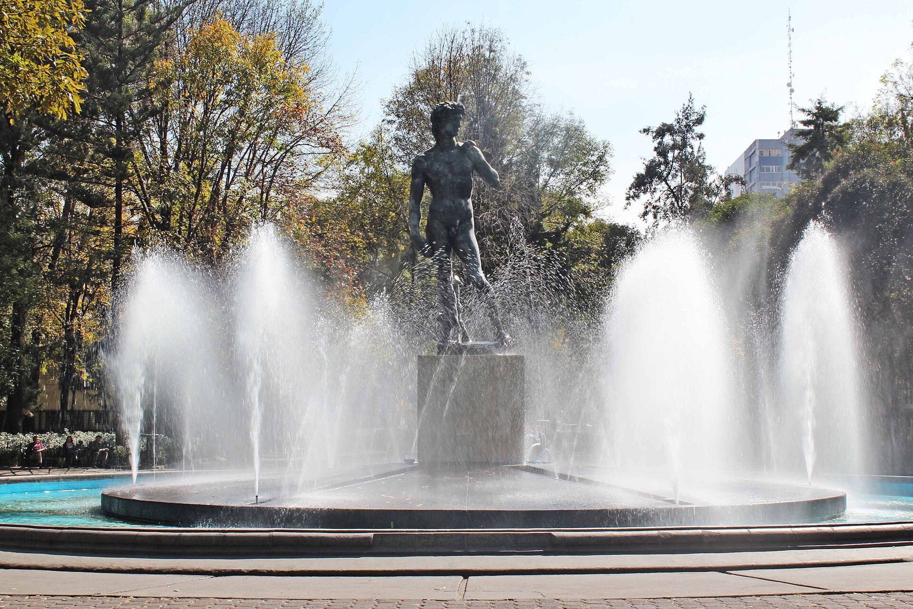
Look at the copy of Michelangelo's David standing over the fountain.
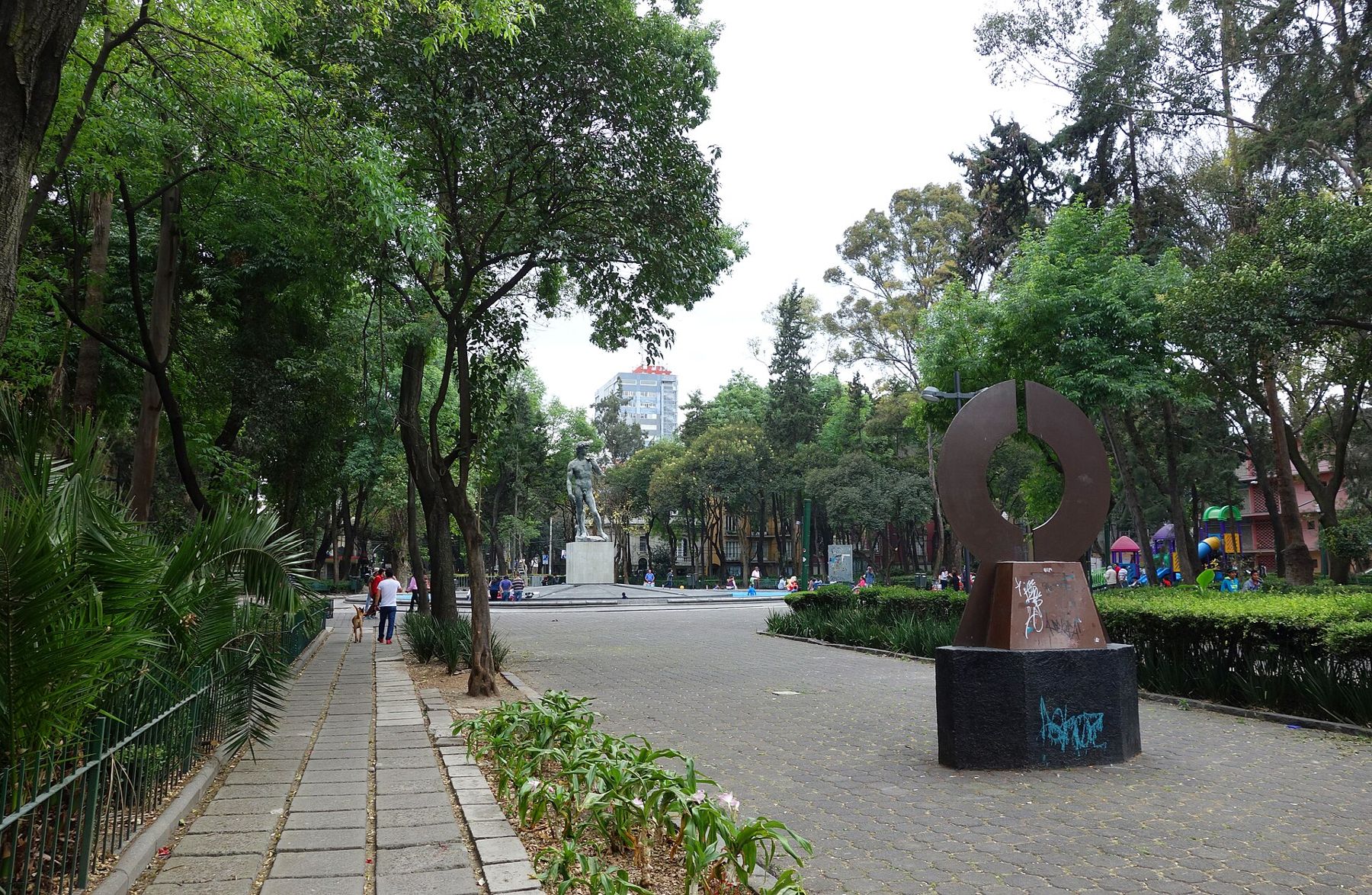
This square is one of the green hearts of Colonia Roma, with a fountain, old trees and, at its centre, a bronze copy of Michelangelo's David. It was planned when the colonia was laid out in the early 1900s, as a garden square for the new residents.
On the corner just to the east stands the Edificio Río de Janeiro, an early twentieth-century apartment building of brick and stone with a pointed corner tower. Its odd silhouette earned it the nickname Casa de las Brujas, the Witches' House.
Notice the mansions around the square: stone balconies, iron railings and mansard roofs, many now offices and galleries.
Walk on · Walk south two blocks to the broad central walkway of Avenida Álvaro Obregón; 4 minutes.
Avenida Álvaro Obregón
Look down the planted central walkway with its benches and sculptures.
Álvaro Obregón is the main avenue of Roma, with a wide central walkway of trees, benches and fountains between two roads. It takes its name from the revolutionary general and president who was assassinated in 1928.
On both sides stand some of the grandest houses of the Porfirian era, built when Roma was the newest and most fashionable address in the city. Many survived, though several were lost in the earthquakes, and most are now restaurants, galleries, cultural centres and offices.
Notice the bronze sculptures placed along the walkway, and the people who use it: dog walkers, joggers and office workers eating lunch in the shade.
Walk on · Continue south one block to the fountain square of Plaza Luis Cabrera; 4 minutes.
Plaza Luis Cabrera
Look at the long fountain with its rows of water jets.
Plaza Luis Cabrera is a quieter twin of Plaza Río de Janeiro: a rectangular garden square with a long fountain and tall trees, surrounded by houses of the early twentieth century. It is named after a lawyer and politician of the revolutionary period.
Squares like this were part of the original plan for Roma, which borrowed from Paris and European suburbs: regular blocks, tree-lined streets and small green spaces at regular intervals.
Notice the variety of styles on the houses facing the fountain, from neoclassical to art nouveau and later art deco, a record of how quickly fashions changed while the colonia filled.
Walk on · Return north to Calle Durango and follow it west across Insurgentes to the fountain; 15 minutes.
Fuente de Cibeles
Look at the goddess in her chariot drawn by two lions.
This is a copy of the Cibeles fountain in Madrid, showing the Roman goddess Cybele in a chariot pulled by lions. It was a gift from the people of Madrid and was unveiled in 1980, in the small round Plaza Villa de Madrid where several streets of Roma meet.
The square marks the border between Roma Norte and the edge of Condesa, and from here the streets begin to change: fewer Porfirian mansions, more apartment buildings from the 1920s onward.
Notice how the fountain sits at the centre of a star of streets, which makes it a natural meeting point and a useful landmark if you lose your bearings.
 Change here for the Mexico City lineCoyoacán
Walk on · Head south-west about 600 metres; the trees of Parque España appear ahead. 9 minutes.
Parque España
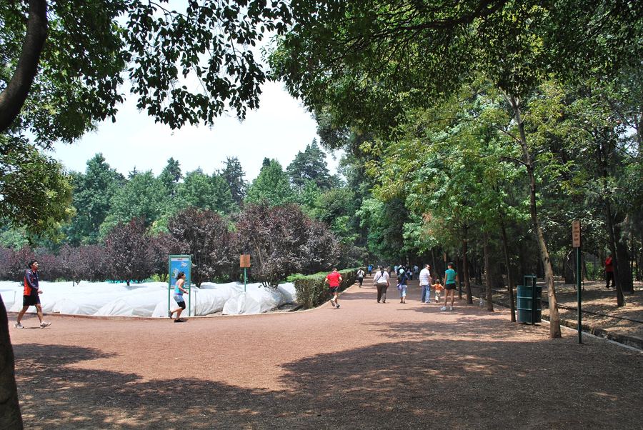
Look at the big trees and the paths crossing under them.
Parque España is the smaller of Condesa's two parks, laid out in the early 1920s. The name of the whole district comes from that estate, which belonged to the Countess of Miravalle in the colonial period.
The park is used intensely by the neighbourhood: a children's playground, paths for running and walking dogs, and benches under the trees.
Notice the dogs. Condesa is famous for them, and you will see professional dog walkers leading whole packs on leads, a sight that surprises most first-time visitors.
Walk on · Walk south-east a few blocks to the larger park, Parque México; 6 minutes.
Parque México
Look at the open-air theatre with its curved pergola and columns.
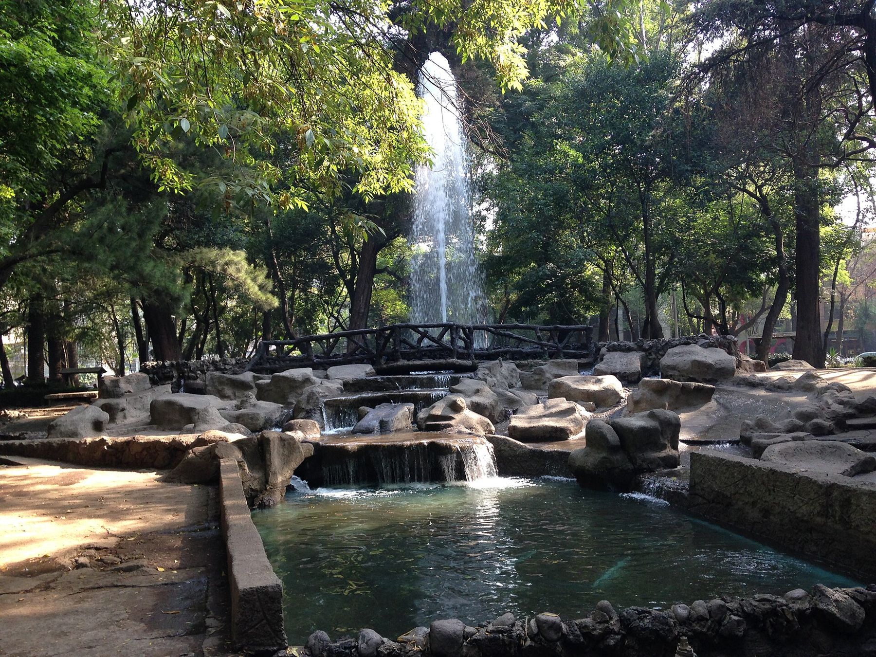
Parque México opened in 1927, the centrepiece of a new colonia called Hipódromo, built on the site of a former horse-racing track. Its paths, fountains, benches and lamps were designed in the art deco style of the time, and many of them survive.
At its heart is the Foro Lindbergh, an open-air theatre with a pergola and columns. It is named after the American aviator Charles Lindbergh, who flew to Mexico City in 1927.
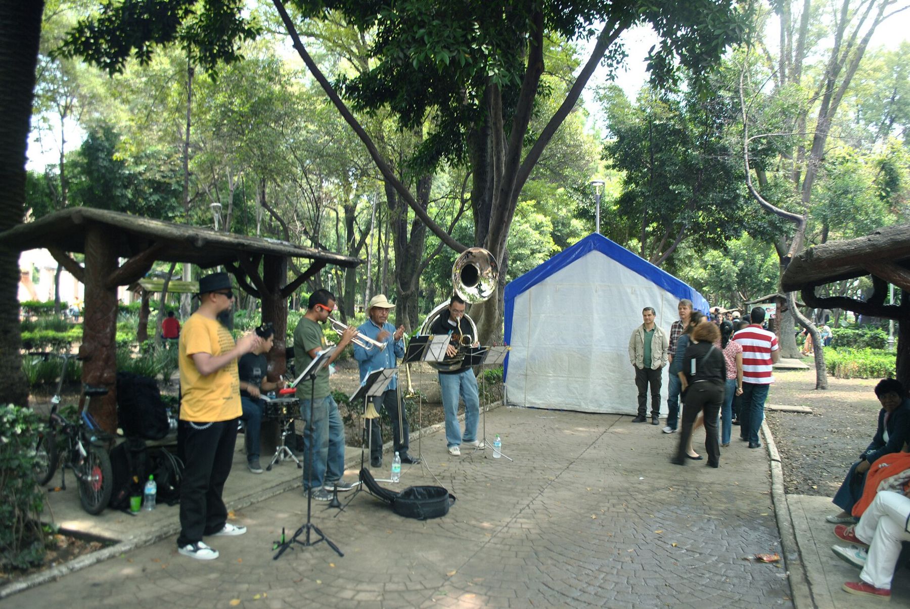
Notice the small pond, and the way the park sits inside a ring of streets: it is the centre of a plan shaped like the racetrack that came before it.
Walk on · Leave the park on its eastern side to Avenida México and the tall corner building; 4 minutes.
Edificio Basurto
Look through the glass doors at the spiral staircase inside.
The Edificio Basurto, completed in the 1940s to a design by the architect Francisco Serrano, is one of the best art deco apartment buildings in the city. It rises in stepped blocks above the edge of the park.
Its most famous feature is the spiral staircase in the lobby, a tight white helix that you can often see through the glass of the entrance. Please look from the street; it is a residential building.
Around it, Avenida México curves to follow the park. Notice the other art deco buildings along the street: rounded corners, porthole windows, metal railings and vertical lines of decoration. Many were built in a short period between the late 1920s and the 1940s.
Walk on · Walk west to Avenida Amsterdam and follow its central walkway south; 6 minutes.
Avenida Amsterdam
Look along the planted walkway as it curves out of sight.
Avenida Amsterdam is an oval. It follows the line of the racetrack of the old Jockey Club, so if you kept walking you would come back to where you started, having circled Parque México.
The central walkway, shaded by trees and lined with benches and planting, is one of the most pleasant places to walk in the city. Houses and apartment buildings line it on both sides, many in art deco and California colonial styles, with tiled roofs and carved doorways.
Notice the curve. In a city of straight grids, this gentle bend is the clue that the street is following something older than itself.
Walk on · Follow the oval south to the small round plaza at Calle Citlaltépetl; 6 minutes.
Plaza Citlaltépetl
Look at the round plaza where the street meets the curve of the oval.
Plaza Citlaltépetl is a small round plaza on the southern side of the Amsterdam oval, with benches under the trees. Citlaltépetl, meaning star mountain in Nahuatl, is the old name of the Pico de Orizaba, the highest mountain in Mexico.
Several streets in this part of Condesa are named after Mexican mountains and volcanoes, a reminder of the peaks that ring the valley and show on the horizon on clear days.
Notice how quiet it is here compared with the busy corners near the parks, and how the oval carries on beyond the plaza, back toward the north.
Where you finish
You end at Plaza Citlaltépetl, inside the oval. To leave, walk west to Avenida Insurgentes for the Metrobús, or follow the oval back north. Chapultepec Metro is about twenty minutes' walk north-west, and Chapultepec makes a natural next walk.
Shade, water and toilets
This is the shadiest walk in the city, with big trees along the avenues and in both parks. It is flat, but sidewalks are often lifted by tree roots, so watch your feet. Public toilets are rare; cafés are the practical option, and a few parks have facilities. Carry water.
Safety sense
Roma and Condesa are among the more relaxed parts of the city, busy by day and in the evening. The usual care applies: keep your phone close on busy corners and in crowded parks, and use a registered taxi or app at night. Weekend mornings are the best time to walk, when traffic is light and the parks are full of local life.