Usaquén was a separate town until 1954, when it was absorbed into Bogotá along with several other municipalities. Long before that it was a Muisca settlement, and the Spanish town here dates from the sixteenth century. The city has grown all round it, but the old centre keeps its square, its parish church and a few blocks of low houses on streets that climb toward the Eastern Hills.
On Sundays the place changes. A flea market and craft stalls spread through the streets around the square, families come up from all over the city, and the main roads of Bogotá close to cars for the weekly ciclovía, so you will share the way with cyclists. This walk circles the old centre: the square, the church, the market streets, and the quieter lanes above them with the hills close overhead.
The route is about 1.6 kilometres and takes around an hour and forty minutes with time to browse. It rises gently toward the hills and drops back again.
The square is at Carrera 6A with Calle 119, a few blocks east of Carrera Séptima. Buses run along the Séptima, and many visitors come by taxi or ride-hailing car; on a Sunday, cycling up on the ciclovía is another option.
Plaza de Usaquén
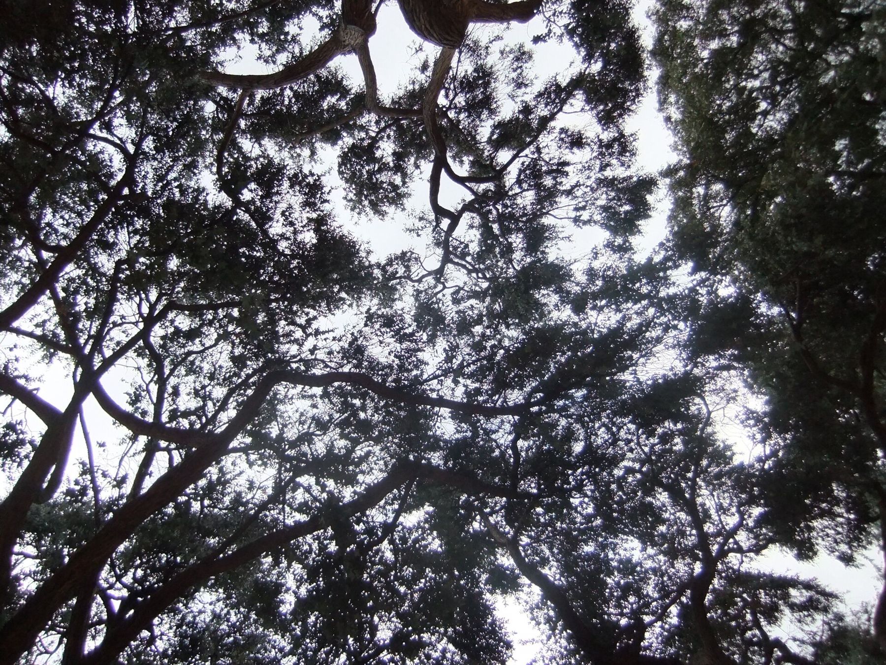
Look at the old trees and the low buildings framing the square.
This was the main square of the town of Usaquén, and it still works like one: a place to sit, meet and watch the afternoon go by. It is small and shaded by tall old trees, with the church on one side and low buildings with tiled roofs around the others.
The name Usaquén comes from the Muisca period, when this was a settlement on the edge of the Sabana, at the foot of the hills. After the Spanish conquest it became a town for the Indigenous population, with its own church and square laid out in the usual colonial way.
Notice how the hills seem to start right behind the rooftops: from here the forest is only a few blocks away.
Walk on · Cross to the church on the square's eastern side; 1 minute.
Parroquia de Santa Bárbara
Look up at the white church front and its belfry against the hills.
The parish church of Santa Bárbara is the heart of the old village. Its origins are colonial, and like most churches in the region it has been repaired and altered after earthquakes and through the centuries.
Saint Barbara is the patron of those exposed to sudden death by lightning, fire and explosion, and in Spanish America she was a common dedication for churches. Inside, the church is simple, and on a Sunday it is busy with Mass, christenings and families.
Notice the contrast between the church and its surroundings: on market days, stalls come almost to the steps, and the sound of bargaining mixes with the bells. Keep your voice down if a service is in progress.
Walk on · Walk to the north side of the square, to the long white building; 1 minute.
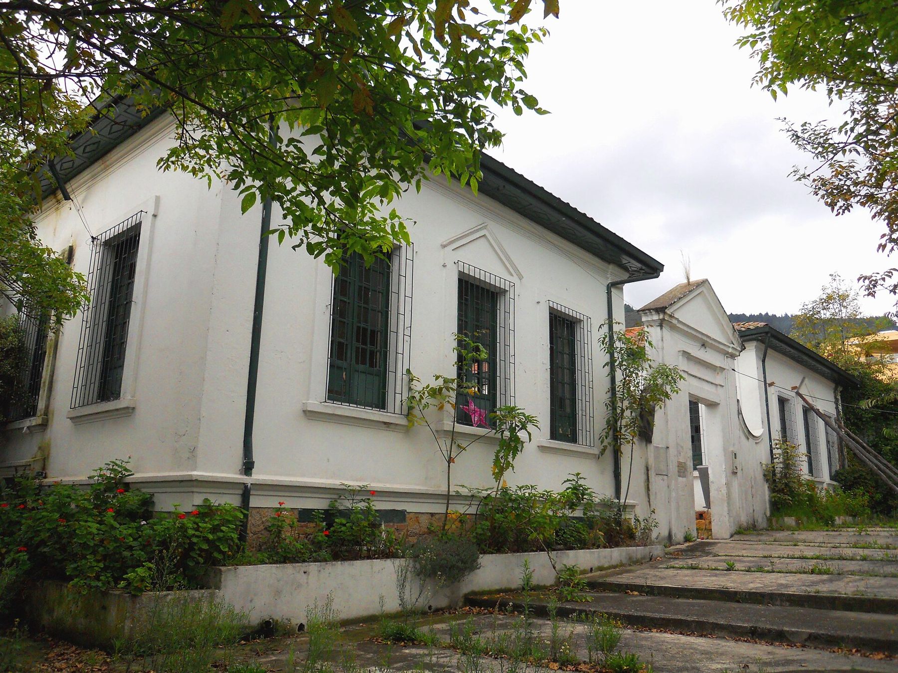
The old school on the square
Look at the tall barred windows and the plain classical door frames.
On the north side of the square stands a long, single-storey white building with tall windows behind iron bars, built as a school. Its style is the plain republican classicism of public buildings in Colombian towns of the late nineteenth and early twentieth centuries: whitewashed walls, simple pediments and a tiled roof.
Buildings like this one show what Usaquén was before the city arrived: a small municipal seat with a church, a school and a few public offices around one square.
Notice the steps and paths around it, worn and patched, and the plants growing out of the edges.
Walk on · Return across the square and head south along the pedestrian Carrera 6A; 3 minutes.
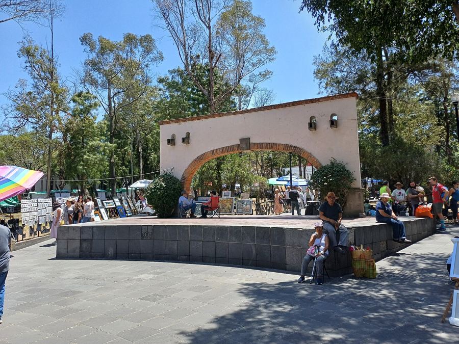
Carrera 6A market street
Look along the line of stalls and awnings filling the street.
On Sundays and public holidays the flea market and craft stalls usually take over the streets around the square, especially along Carrera 6A. You will find handmade jewellery, leather goods, woven bags, ceramics, old coins, records and second-hand oddities, along with snacks and drinks.
The market has been running for decades and is one of the best known in the city. The stalls and their exact layout change, so treat this as a stretch to wander rather than a fixed route.
Notice the crafts that come from elsewhere in Colombia: mochilas woven by the Wayuu of La Guajira, hats from the Caribbean coast, and wool from the cold highlands of Boyacá. Ask where things are made; stallholders are usually glad to tell you.
 Change here for the Mexico City lineSan Ángel
Walk on · Turn uphill (east) at the next corner and climb two blocks to Carrera 5; 4 minutes.
Carrera 5
Look at the low houses with tiled roofs and the slope rising behind them.
A block or two above the square the market thins out and the old village shows more clearly. Some houses are still low, with thick walls, tiled roofs and wooden windows; others have been rebuilt or turned into homes and studios.
The streets here are steeper than in the centre of the square, because Usaquén sits on the first slope of the hills. That slope was the reason for the town's position: water came down from the mountain, and the land below was good for farming.
Notice the paving and the kerbs, often high and uneven, and the drainage channels along the street: this is a place built for heavy mountain rain.
Walk on · Continue uphill along Calle 119 toward the hills; 4 minutes.
Calle 119 below the hills
Look up at the forested hills and the bare scar of an old quarry.
At the top of these streets the Eastern Hills rise steeply above the houses. They are a protected forest reserve, part of the same range as Monserrate, and they run along the whole length of Bogotá.
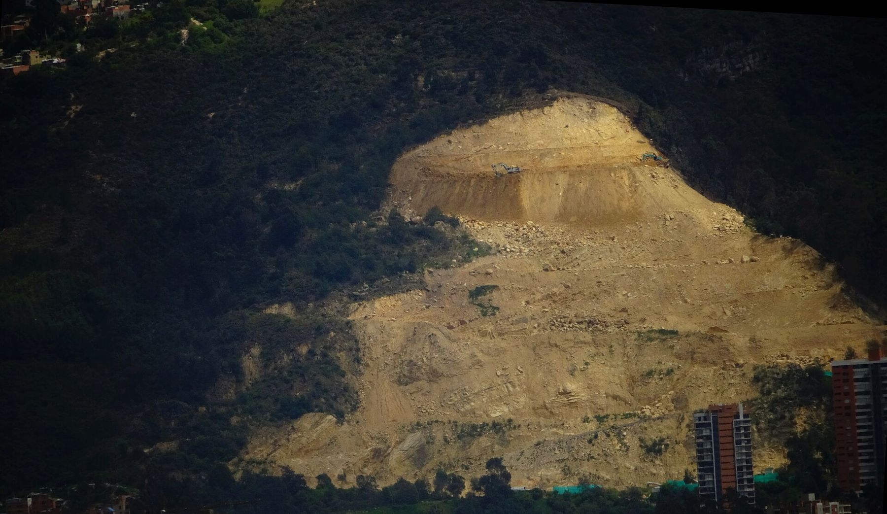
Look carefully and you will see pale scars on the slopes. For much of the twentieth century the hills were quarried for stone, sand and clay to build the growing city, and some of the cuts are still visible. Restoring them has been a long argument between landowners, neighbours and the city.
Notice the change in air: on a quiet Sunday you can hear birds from the forest, a few blocks from the market noise.
Walk on · Turn left and walk north, then left again down Calle 120A; 5 minutes.
Calle 120A
Look down the street toward the square and the trees around it.
Calle 120A brings you back down toward the square through a quieter part of the old village. From here you look over the tiled roofs toward Carrera Séptima and the newer city beyond, with its apartment towers rising where farms once were.
What draws Bogotanos here is exactly this contrast: a small-town scale within a few blocks of busy avenues. Many of the old houses around here now hold cafés and restaurants, which fill on weekend afternoons.
Notice how the streets bend and change width, unlike the straight grid of the newer city below: the village plan was here before the grid arrived, and the city simply wrapped round it.
Where you finish
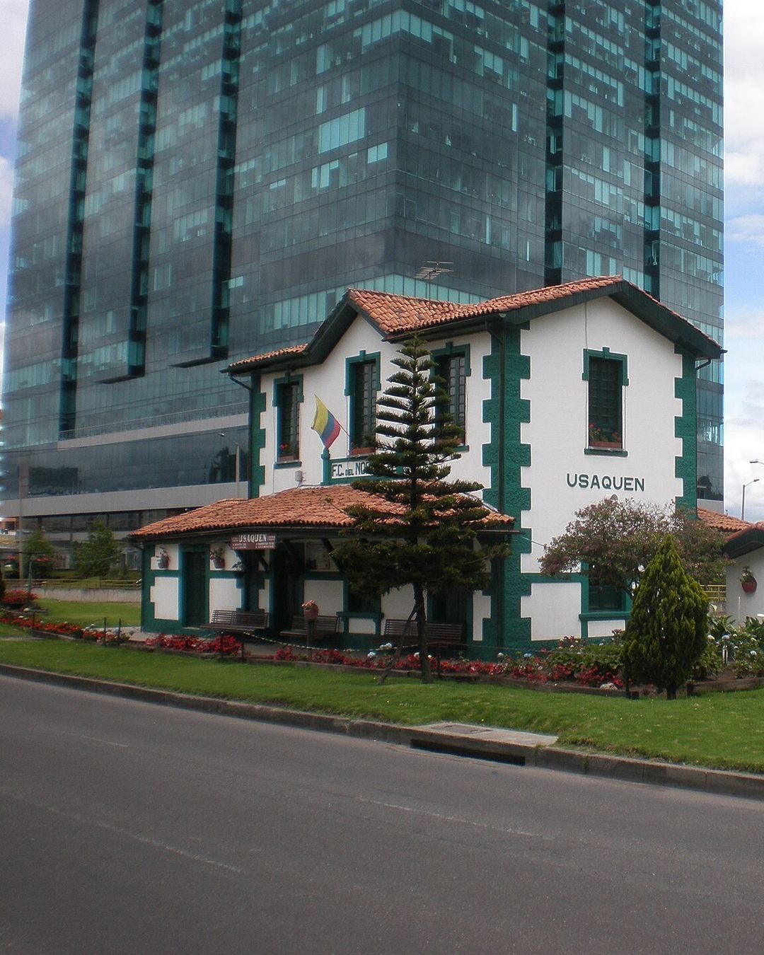
Calle 120A brings you back down to the square in a couple of minutes. From there you can browse the market again, or walk west to Carrera Séptima for buses and taxis. Usaquén also has an old railway station, a short ride from the square.
Crowds, weather and toilets
Sunday is the best day for the market and also the busiest; arrive late morning for the liveliest streets, or early for a calmer look at the square. The streets above the square are steep and uneven, and slippery after rain. There is shade under the trees on the square but little elsewhere. Toilets are mostly in cafés and restaurants, so plan accordingly, and carry water.
Safety and what next
Usaquén is one of the calmer parts of the city, but crowded markets attract pickpockets anywhere: keep your bag in front and your phone out of reach. Watch for cyclists on the ciclovía when you cross the main roads. If you liked the brick houses and leafy streets here, Chapinero and Quinta Camacho show a different, early twentieth-century side of northern Bogotá; for a harder morning, climb Monserrate on the same range of hills.